

Typhoon Dolphin Makes Landfall in China, Over 1 Million Evacuated
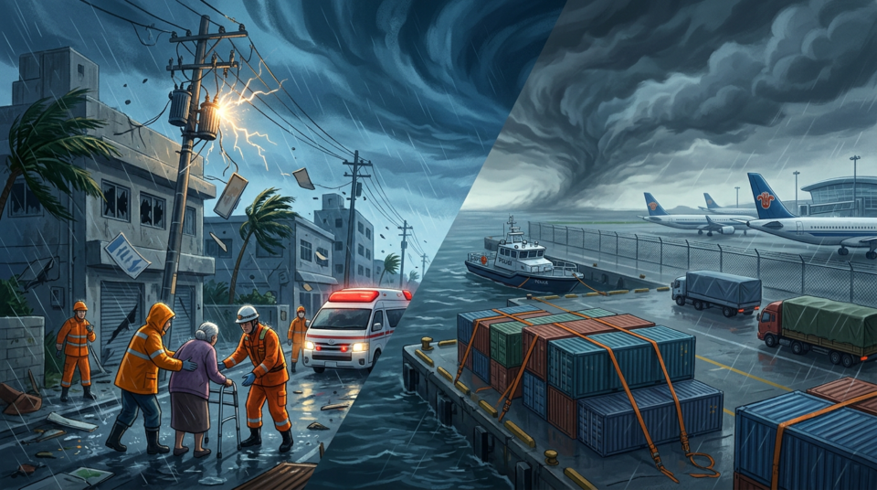
At a glance
- Typhoon Dolphin made landfall in eastern China on Sunday.
- Over 1 million people have been evacuated.
- The storm brought torrential rain and strong winds, causing transport disruptions.
Story so far
Typhoon Dolphin, after lashing Japan’s southern Okinawa prefecture with strong winds and causing injuries and power outages, made landfall on China’s east coast. Chinese authorities had intensified preparations, including moving offshore workers, ordering vessels back to port, and raising emergency response levels. The storm is expected to bring torrential rain and powerful winds, with forecasts indicating prolonged heavy rain and increased flood risks as it tracks westward and gradually loses strength over central and southwestern China.
Latest development
Typhoon Dolphin made landfall near Yuhuan in eastern Zhejiang province at about 5:30 p.m. local time on Sunday, with sustained winds of 151 km/h. Following its arrival, over 1 million people were evacuated, and Shanghai cancelled approximately 1,500 flights.
Latest updates
Typhoon Dolphin made landfall near Yuhuan in eastern Zhejiang province at about 5:30 p.m. (0930 GMT) on Sunday. The storm packed maximum sustained winds of 42 metres per second (151 km/h) near its centre at landfall, equivalent to a Category 1 hurricane on the Saffir-Simpson scale. More than 1 million people were evacuated from their homes across the east of the country, and Shanghai cancelled about 1,500 flights.
Chinese authorities have intensified preparations for Typhoon Dolphin's landfall, moving offshore workers to safety, ordering vessels back to port, and increasing checks at reservoirs, mountain streams, landslide-prone areas, construction sites, and tourist locations. The storm is expected to hit China's east coast on Sunday evening and into Monday with sustained winds of up to 162 kilometres per hour, equivalent to a Category 2 storm on the Saffir-Simpson Hurricane Wind Scale. Torrential rain is forecast through August 10 across Zhejiang, Shanghai, northern Fujian, northeastern Jiangxi, central and southern Anhui, and much of Jiangsu, with parts of central and eastern Zhejiang potentially receiving 250-500 mm of rain. After landfall, Dolphin is forecast to track westward, slowing over central and southwestern China and gradually losing strength, which could prolong heavy rain and increase flood risks.
In Japan, the number of injured individuals in Okinawa has risen to six, with another person reported injured in Kagoshima prefecture. Power outages now affect over 50,000 buildings, including nearly 39,000 in Kagoshima and over 12,000 in Okinawa. Domestic airlines ANA and Japan Airlines cancelled flights. In China, Typhoon Dolphin has been designated an orange-category typhoon, the second-highest level, and the emergency response level has been raised to Level III. The typhoon is expected to make landfall between Zhoushan city, Zhejiang province and Fuding city, Fujian province, with winds of 38-45 metres per second near its centre. China’s National Marine Forecasting Centre has maintained its highest, red-level warning for waves, forecasting 5-to-8-metre waves in coastal waters off Zhejiang through Sunday afternoon, while orange-level warnings are in place for waves off Shanghai and northern Fujian. Chinese authorities issued five weather and disaster warnings on Saturday evening, including orange alerts for typhoon, heavy rain, and geological-disaster risks, along with a red alert for mountain torrents. Eastern China is expected to experience rain and strong winds through August 12.
Latest Fact Checks
Typhoon Dolphin hits China’s east coast; over 1m evacuated
BEIJING: Typhoon Dolphin, the most powerful tropical cyclone to hit China this year, made landfall on the country’s eastern coast on Sunday, bringing torrential rain and strong winds and triggering warnings of flooding and landslides. The typhoon has
Typhoon Dolphin set to hit China's east coast, triggering flood warnings
BEIJING: Typhoon Dolphin is set to make landfall on China’s east coast overnight Sunday, bringing torrential rain and powerful winds, as authorities brace for flooding and landslides across a broad swathe of eastern China. Typhoon Dolphin has alrea


Responses